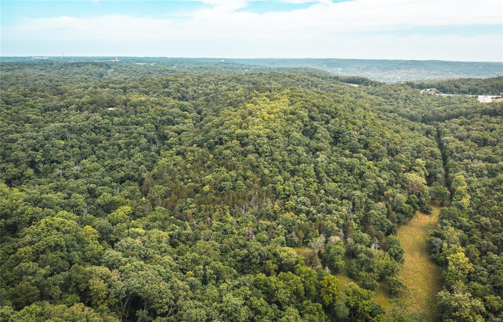
0 State Highway 265


Description
- Listed by Amanda Robertson • Living The Dream Inc.
Property Details for 0 State Highway 265
Property Details for 0 State Highway 265
| Status | Active |
|---|---|
| MLS # | 22040267 |
| Days on Market | 835 |
| Taxes | $32 / year |
| HOA Fees | - |
| Condo/Co-op Fees | - |
| Compass Type | Land |
| MLS Type | Farm / Acreage & Farms |
| Year Built | - |
| Lot Size | 56.80 AC |
| County | Stone County |
Building Information for 0 State Highway 265
Property Information for 0 State Highway 265
- City: Branson
- County Or Parish: Stone
- Directions: From Hwy 76/Shepherd of the Hills Expwy intersection go west on Hwy 76 to Hwy 265 then south 1/3 miles just past Tall Pines Campground. Entrance is on the east side of Hwy 265. LISTING AGENT MUST BE PRESENT TO SHOW. DO NOT SHOW WITHOUT AN APPOINTMENT
- Latitude: 36.667301
- Longitude: -93.32126
- Postal Code: 65616
- State Or Province: MO
- Sub division Name: n/a
- Topography: Gently Rolling
- List AOR: St. Louis Association of REALTORS
- Parcel Number: 128028000000003000
- Tax Annual Amount: $32.00
- Tax Year: 2021
- Attached Garage: No
- Carport: No
- Garage: No
- Elementary School: Reeds Spring
- High School: Reeds Spring High
- High School District: Reeds Spring R-IV
- Middle Or Junior School: Reeds Spring Middle
- Lot Size Acres: 56.8
- Lot Size Source: County Records
- Lot Size Square Feet: 2474208.0
- Property Sub Type: Acreage & Farms
- Property Type: Farm
- Current Use: Recreational
- Documents Available: None Available
- Documents Count: 2
- Photos Count: 28
- Videos Count: 0
- Disclosures: Sellers Discl Not Av
- Ownership Type: Private
- Sewer: Other
- Utilities: None
- Water Source: None
- Road Frontage Type: Interstate
- Road Surface Type: Asphalt
- Pool Private: No
- Levels: None
- Bathrooms Full: 0
- Bathrooms Half: 0
- Bathrooms Total Integer: 0
- Bedrooms Total: 0
- Fireplace: No
- Heating YN: No
- Main and Upper Bathrooms: 0
- Main and Upper Beds: 0
- TYPE: Acreage Rural
Property History for 0 State Highway 265
| Date | Event & Source | Price | Appreciation |
|---|
| Date | Event & Source | Price |
|---|
For completeness, Compass often displays two records for one sale: the MLS record and the public record.
Schools near 0 State Highway 265
Rating | School | Type | Grades | Distance |
|---|---|---|---|---|
| Public - | PK to 1 | |||
| Public - | 2 to 4 | |||
| Public - | 5 to 6 | |||
| Public - | 7 to 8 |
Rating | School | Distance |
|---|---|---|
Reeds Spring Primary School PublicPK to 1 | ||
Reeds Spring Elementary School Public2 to 4 | ||
Reeds Spring Intermediate School Public5 to 6 | ||
Reeds Spring Middle School Public7 to 8 |
School ratings and boundaries are provided by GreatSchools.org and Pitney Bowes. This information should only be used as a reference. Proximity or boundaries shown here are not a guarantee of enrollment. Please reach out to schools directly to verify all information and enrollment eligibility.
Similar Homes
Similar Sold Homes
No guarantee, warranty or representation of any kind is made regarding the completeness or accuracy of descriptions or measurements (including square footage measurements and property condition), such should be independently verified, and Compass expressly disclaims any liability in connection therewith. Photos may be virtually staged or digitally enhanced and may not reflect actual property conditions. Offers of compensation are subject to change at the discretion of the seller. No financial or legal advice provided. Equal Housing Opportunity.
Listing Courtesy of Living The Dream Inc.
Based on information from one of the following Multiple Listing Services: MARIS, Bagnell Dam Association of REALTORS . Information being provided is for the visitor’s personal, noncommercial use and may not be used for any purpose other than to identify prospective properties visitor may be interested in purchasing. The data contained herein is copyrighted by MARIS, Bagnell Dam Association of REALTORS is protected by all applicable copyright laws. Any dissemination of this information is in violation of copyright laws and is strictly prohibited. Property information referenced on this web site comes from the Internet Data Exchange (IDX) program of the MLS. This web site may reference real estate listing(s) held by a brokerage firm other than the broker and/or agent who owns this web site. For the avoidance of doubt, the accuracy of all information, regardless of source, is deemed reliable but not guaranteed and should be personally verified through personal inspection by and/or with the appropriate professionals.


